Accurately calculating the distance between two locations is crucial for many location-based applications. This guide explains how to effectively use the Google Maps Distance Matrix API for precise distance calculations. We’ll cover common issues, optimization techniques, and the latest advancements to help you build reliable applications using the google api distance between two locations.
Project Setup
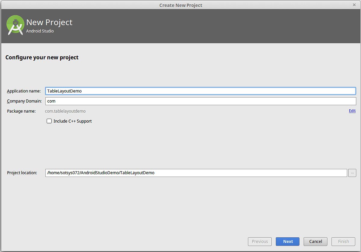
Begin by creating a new project in Android Studio or opening your existing project. When setting up your project, ensure that the minimum SDK version aligns with your target audience. Next, add the required dependencies to your build.gradle file:
dependencies {
    implementation 'com.google.android.gms:play-services-maps:18.1.0'
    implementation 'com.google.android.gms:play-services-location:21.0.1'
    implementation 'com.google.maps.android:android-maps-utils:2.3.0'
    implementation 'com.squareup.retrofit2:retrofit:2.9.0'
    implementation 'com.squareup.retrofit2:converter-gson:2.9.0'
}
These dependencies provide the necessary tools to work with the Google Maps SDK, location services, and the Retrofit library for API calls.
Obtaining a Google Maps API Key
To utilize the Google Maps Distance Matrix API, you need to obtain an API key from the Google Cloud Console. Follow these steps:
- Visit the and create a new project or select an existing one.
- Navigate to the “APIs & Services” section and search for the “Distance Matrix API.” Click on “Enable” to activate it.
- In the “APIs & Services” section, go to the “Credentials” tab and click on “Create credentials.” Choose “API key” as the credential type.
- Copy the generated API key and securely store it. You will need it for your Android app.
Next, add the API key to your app’s AndroidManifest.xml file:
<meta-data
    android:name="com.google.android.geo.API_KEY"
    android:value="YOUR_API_KEY_HERE" />
Remember to replace YOUR_API_KEY_HERE with your actual API key obtained from the Google Cloud Console. Additionally, consider applying restrictions to your API key for added security.
Implementing the Distance Matrix API
With your project set up and API key in hand, you can now implement the Google Maps Distance Matrix API to calculate distances.
Setting up Retrofit
To make API calls to the Google Maps Distance Matrix API, you can use Retrofit for easy network operations. Start by creating a Retrofit instance and defining the API interface:
public interface DistanceMatrixApi {
    @GET("maps/api/distancematrix/json")
    Call<DistanceMatrixResponse> getDistanceMatrix(
        @Query("origins") String origins,
        @Query("destinations") String destinations,
        @Query("mode") String mode,
        @Query("units") String units,
        @Query("key") String apiKey,
        @Query("language") String language,
        @Query("avoid") String avoid,
        @Query("traffic_model") String trafficModel,
        @Query("departure_time") String departureTime
    );
}

DistanceMatrixApi distanceMatrixApi = new Retrofit.Builder()
    .baseUrl("https://maps.googleapis.com/")
    .addConverterFactory(GsonConverterFactory.create())
    .build()
    .create(DistanceMatrixApi.class);
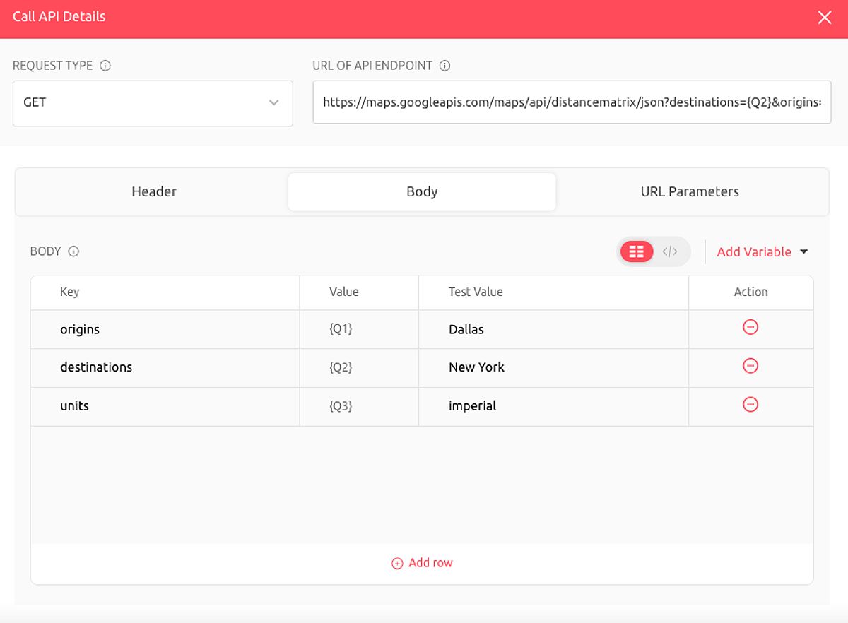
In this example, the DistanceMatrixApi interface defines the methods for interacting with the Distance Matrix API endpoint. The Retrofit instance is then created with the appropriate base URL and JSON conversion factory.
Creating the API Interface
The DistanceMatrixApi interface maps the Distance Matrix API endpoint and its parameters. Let’s examine the key parameters in more detail:
- origins: The starting point(s) for the distance calculation, specified as latitude/longitude coordinates or addresses.
- destinations: The ending point(s) for the distance calculation, specified similarly to origins.
- mode: The mode of travel (e.g., driving, walking, bicycling, or transit).
- units: Measurement units (metric or imperial).
- key: Your API key.
- language: The language of the response.
- avoid: Specify certain features to avoid, such as tolls, highways, ferries, or indoor routes.
- traffic_model: Defines how traffic conditions should be taken into account.
- departure_time: Time of departure for calculating traffic conditions.
Providing valid input formats is crucial for successful API calls. For instance, origins can be given as latitude,longitude or as an address string.
Making the API Call
With the Retrofit setup and API interface defined, you can now make the actual API call to retrieve the distance and travel time information:
Call<DistanceMatrixResponse> call = distanceMatrixApi.getDistanceMatrix(
    "48.8566,2.3522",
    "51.5074,0.1278",
    "driving",
    "metric",
    "YOUR_API_KEY_HERE",
    "en",
    null,
    "best_guess",
    "now"
);
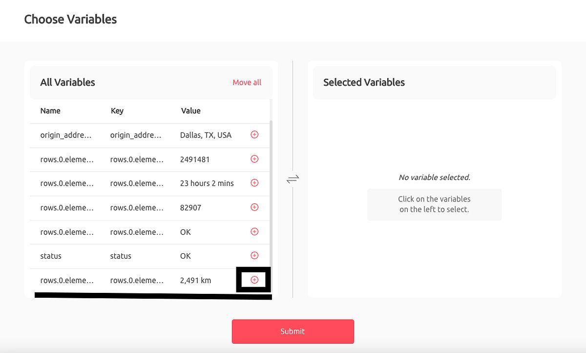
This call sets the necessary parameters, such as the origin and destination coordinates, travel mode, and API key.
Handling the Response
When you receive a response from the Distance Matrix API, it’s essential to handle it correctly. Start by checking if the response is successful and contains a valid body:
call.enqueue(new Callback<DistanceMatrixResponse>() {
    @Override
    public void onResponse(Call<DistanceMatrixResponse> call, Response<DistanceMatrixResponse> response) {
        if (response.isSuccessful() && response.body() != null) {
            DistanceMatrixResponse distanceMatrixResponse = response.body();
            // Extract distance and duration information from the response
            String distance = distanceMatrixResponse.getRows().get(0).getElements().get(0).getDistance().getText();
            String duration = distanceMatrixResponse.getRows().get(0).getElements().get(0).getDuration().getText();
            // Update your UI with the retrieved distance and duration
        } else {
            // Handle error cases, such as invalid API key or network issues
            String errorMessage = "Error: " + response.code() + " " + response.message();
            // Display user-friendly error message

            // Check for specific error codes, such as ZERO_RESULTS
            if (response.code() == 200 && distanceMatrixResponse.getStatus().equals("ZERO_RESULTS")) {
                // No route found between the specified origins and destinations
                showUserMessage("No route found between these locations");
            }
        }
    }

    @Override
    public void onFailure(Call<DistanceMatrixResponse> call, Throwable t) {
        // Handle network or other errors
    }
});
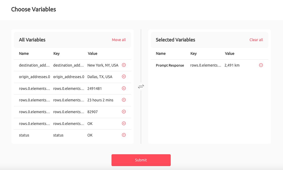
In this example, the response is first checked for success. If successful, the distance and duration values are extracted from the DistanceMatrixResponse object. If the response is unsuccessful, the error code and message are handled, and specific error cases, such as ZERO_RESULTS, are addressed.
Displaying Distance Information and User Experience
Once you’ve retrieved the distance information from the Google Maps Distance Matrix API, the next step is to integrate it into your app’s user interface and enhance the overall user experience.
UI Integration
Displaying the distance and duration information can be done using UI components like TextView. Here’s an example layout:
<TextView
    android:id="@+id/distance_text_view"
    android:layout_width="wrap_content"
    android:layout_height="wrap_content"
    android:textSize="16sp" />
In your Java code, update the TextView with the retrieved distance and duration:
TextView distanceTextView = findViewById(R.id.distance_text_view);
distanceTextView.setText("Distance: " + distance + "\nDuration: " + duration);
Improving User Experience
To enhance the user experience, consider the following strategies:
-
Provide Visual Cues: Integrate a map view into your app to display the route between the origin and destination points. This visualization helps users understand the distance and path they will take.
-
Handle Edge Cases: Ensure your app gracefully handles situations where the Distance Matrix API cannot calculate the distance, such as when no route is found. Display appropriate error messages or fallback information to the user.
-
Offer Additional Details: In addition to distance, consider displaying estimated travel time, which can be retrieved from the API response. This added information can help users make informed decisions.
-
Monitor and Optimize API Usage: Be mindful of the Google Maps Platform’s pricing structure and rate limits. Use batch requests to minimize the number of API calls and ensure cost-effectiveness, especially for high-volume applications.
-
Implement Offline Capabilities: For scenarios with unreliable internet connectivity, consider caching distance data for frequently used origin-destination pairs. This allows your app to provide distance information without real-time API calls.

By focusing on these user experience aspects, you can create a more engaging and useful application for your users.
Advanced Techniques and Optimization
As your application grows in complexity, exploring advanced techniques and optimization strategies when working with the Google Maps Distance Matrix API becomes essential.
Batch Requests
If your app requires calculating distances between multiple origins and destinations, take advantage of the Distance Matrix API’s ability to handle batch requests. Instead of making individual API calls for each origin-destination pair, send a single request with multiple origins and destinations:
// Example of a batch request
String origins = "48.8566,2.3522|51.5074,0.1278";
String destinations = "40.730610,-73.935242|34.052235,-118.243683";

Call<DistanceMatrixResponse> batchCall = distanceMatrixApi.getDistanceMatrix(
    origins,
    destinations,
    "driving",
    "metric",
    "YOUR_API_KEY_HERE",
    "en",
    null,
    "best_guess",
    "now"
);
This approach reduces the number of API calls, improving the overall performance and cost-effectiveness of your app. However, it’s important to note that the Distance Matrix API has limitations on the number of origins and destinations per request, so you may still need to make multiple batch requests if your requirements exceed the limits.
Optimizing API Calls
To optimize your API usage, consider the following strategies:
- Batch Requests: As mentioned, batch requests can significantly improve efficiency and reduce costs.
- Choose Appropriate Travel Modes: Select the appropriate travel mode based on your app’s context and user needs. This ensures you retrieve the most relevant distance and travel time information.
- Monitor Rate Limits: Be aware of the rate limits imposed by the Google Maps Platform. As of 2023, the free tier allows up to 100,000 Distance Matrix API requests per month. Implement error handling and fallback mechanisms to gracefully handle rate limit exceptions.
- Understand Pricing: The Distance Matrix API is billed per request, so optimizing your API calls is crucial for cost-effectiveness, especially for high-volume applications.
Offline Capabilities (Optional)
For scenarios where internet connectivity might be unreliable, consider implementing offline distance calculation capabilities. This can be achieved by:
- Caching Distance Data: Preload and cache distance data for frequently used origin-destination pairs, allowing your app to provide distance information without real-time API calls.
- Hybrid Approach: Combine online and offline strategies, where your app first checks cached data and falls back to the Distance Matrix API if the required information is not available locally.
Implementing offline capabilities can enhance user experience and ensure your app’s functionality is not heavily reliant on internet connectivity.
Future Trends in Distance Calculation
The field of distance calculation is constantly evolving, with advancements in AI and machine learning driving innovative solutions. Some emerging trends in this space include:
-
Improved Algorithms and Traffic Predictions: Services like Google Maps are continuously enhancing their algorithms to provide more accurate travel time predictions. By incorporating real-time traffic data and historical patterns, these systems can better anticipate delays and propose optimal routes.
-
Multimodal Transportation Integration: As mobility options diversify, distance calculation services are integrating support for various modes of transportation, including public transit, bike-sharing, and micromobility. This allows users to plan more comprehensive and efficient journeys.
-
Predictive Analytics and Optimization: Leveraging machine learning, some providers are developing predictive analytics capabilities to forecast demand patterns and optimize logistics operations. This can lead to more efficient route planning and resource allocation for businesses.
-
Personalization and User-Centric Features: Distance calculation platforms are incorporating user preferences, past behavior, and contextual data to offer personalized experiences. This could include tailored route suggestions, departure time recommendations, and seamless multimodal trip planning.
As you continue to build your location-based applications, staying informed about these emerging trends can help you future-proof your solutions and deliver increasingly sophisticated and user-friendly experiences.
FAQ
1- What is the Google Maps Distance Matrix API?
The Google Maps Distance Matrix API is a service that calculates travel distance and time between multiple origins and destinations. It provides data based on various parameters such as mode of transportation, traffic conditions, and more.
2- How do I obtain an API key for the Distance Matrix API?
To obtain an API key, visit the Google Cloud Console, create or select a project, enable the Distance Matrix API, and generate an API key in the “Credentials” section.
3- Can I use the Distance Matrix API for batch requests?
Yes, the Distance Matrix API supports batch requests, allowing you to calculate distances between multiple origins and destinations in a single API call. However, be mindful of the limits on the number of origins and destinations per request.
4- What are some best practices for using the Distance Matrix API?
Best practices include optimizing API calls by using batch requests, choosing appropriate travel modes, monitoring rate limits, and implementing error handling. Additionally, consider caching data for frequently used routes to enhance performance.
Conclusion
This guide has provided a comprehensive overview of using the Google Maps Distance Matrix API to calculate distances between two locations in your Android apps. By following the steps outlined, you can successfully integrate this powerful tool into your applications, enhancing their functionality and user experience.
Remember to prioritize efficient API usage, robust error handling, and a focus on user experience to create a successful and cost-effective application. Continuously monitor industry trends and explore advanced techniques to stay ahead of the curve. Start building your location-aware Android application today and reap the benefits of precise distance calculations!
